Arizona 3D Printed Topographical Display Map
What does a 3D printed Topographical Map of Arizona, scaled at 3,622,718 to 1 look like?
Printed by The Works member, Likely LED. This 3D print has an exaggerated vertical scale to make sure the Grand Canyon and highest peaks in Arizona stand out. The 3-color print took 36 hours to complete with a solid core and the highest accuracy settings available. Ready for framing or gifting.
Details for this Arizona 3D Printed Topographical Display Map:
- 3D Printed State of Arizona
- Color-Coded by elevation.
- Colors: Silver for the highest elevations in the State (Flagstaff, Show Low), Orange for the mid-level elevations (Tucson), black for the lowest elevations (Phoenix, Yuma). Elevations derived from the United States Geological Survey (USGS) digital elevation models
- This is a solid core piece
- Weight is 10 oz
Available for sale on Etsy


Need something 3D printed? Check the HUGE Selection of 3D models on thingiverse.com, then contact Likely LED for a quote and time frame.
Other states that can be 3D printed with impressive results due to their terrain include California, Colorado, Oregon, and Montana.
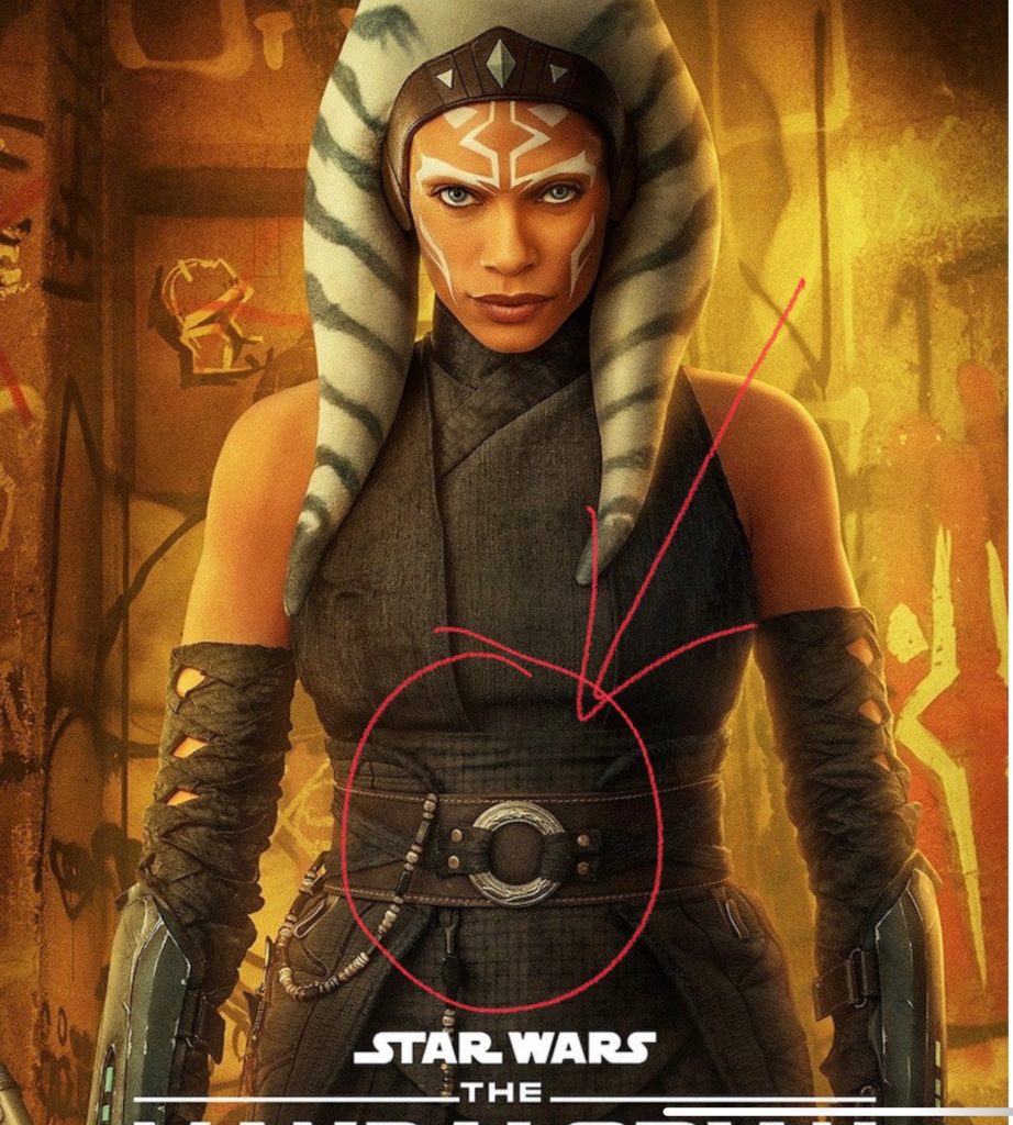
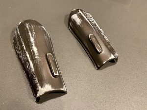
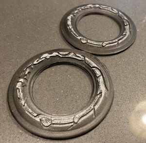
Other recent 3D Print Jobs include the Ahsoka Tano Belt Loop and Arm Guards. For those who aren’t aware, Ahsoka is a recurring character on Disney’s “The Mandalorian”.
Looking for your own 3D Printer? Likely LED, recommends the Dremel 3D45.


